
How to Read a METAR and TAF (With Decoded Examples)
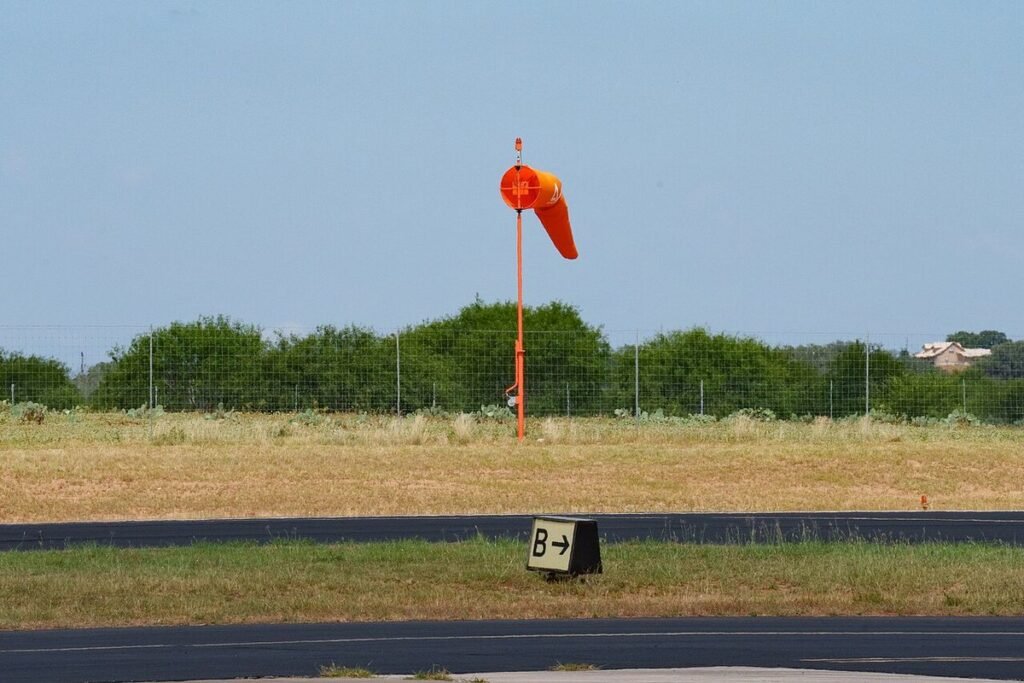

Knowing how to read a METAR comes down to one fixed order: station, time, wind, visibility, weather, clouds, temperature and dew point, altimeter, then remarks. Once that sequence is in your head, any report decodes in under a minute. TAFs use the same building blocks, with a valid period and change groups such as FM, TEMPO and PROB30 that tell you when the forecast shifts.
Example 1: a clear, gusty day in Denver
METAR KDEN 231753Z 34012G20KT 10SM FEW080 SCT250 18/M04 A3012 RMK AO2 PK WND 35028/1712 SLP156 T01781039
| Group | Meaning |
|---|---|
| METAR | Routine hourly report (SPECI would mean a special one) |
| KDEN | Denver International, ICAO identifier |
| 231753Z | 23rd of the month, 17:53 UTC (Zulu) |
| 34012G20KT | Wind from 340° true at 12 knots, gusting 20 |
| 10SM | Visibility 10 statute miles or more |
| FEW080 SCT250 | Few clouds at 8,000 ft AGL, scattered at 25,000 ft |
| 18/M04 | Temperature 18°C (64°F), dew point minus 4°C (25°F) |
| A3012 | Altimeter setting 30.12 inches of mercury |
| RMK AO2 | Remarks: automated station with a precipitation sensor |
| PK WND 35028/1712 | Peak wind 350° at 28 knots, at 17:12 UTC |
| SLP156 | Sea level pressure 1015.6 hectopascals |
| T01781039 | Exact temperature 17.8°C, dew point minus 3.9°C |
The weather is VFR by any definition, but that peak wind remark matters. A 28-knot gust from 350° is mostly a headwind on a north runway, yet any runway off that axis turns it into a serious crosswind. The wide spread between temperature and dew point (22°C) also tells you fog is not a concern today.
Wind, visibility and weather codes
Wind
Wind is always given in degrees true and knots: three digits of direction, two or three of speed, then G and the gust value if any. Variations of 60° or more appear as 280V340, light variable wind as VRB03KT, and calm as 00000KT. Remember that the ATIS and the tower give wind in degrees magnetic, so the numbers can differ by the local variation.
Visibility
US reports use statute miles, with fractions such as 1 1/2SM or 3/4SM. M1/4SM means less than a quarter mile. Some reports add runway visual range, for example R16R/2400FT.
Present weather
- Intensity:
-light, no sign for moderate,+heavy,VCin the vicinity. - Descriptors:
TSthunderstorm,SHshowers,FZfreezing,BLblowing,MIshallow. - Precipitation:
RArain,SNsnow,DZdrizzle,GRhail,PLice pellets,UPunknown. - Obscurations:
BRmist,FGfog,HZhaze,FUsmoke.
Example 2: low clouds and rain in Seattle
METAR KSEA 231653Z 18008KT 2SM -RA BR BKN008 OVC015 11/10 A2987 RMK AO2 CIG 006V010 P0004 T01110100
- 18008KT: south wind at 8 knots, nothing dramatic.
- 2SM -RA BR: 2 miles visibility in light rain and mist.
- BKN008 OVC015: broken layer at 800 feet, overcast at 1,500. The ceiling is the lowest broken, overcast or vertical visibility layer, so the ceiling is 800 feet.
- 11/10: one degree of spread. Expect visibility to drop if the rain stops and the air stays saturated.
- A2987: 29.87, lower pressure than standard as a system moves through.
- CIG 006V010: the ceiling is varying between 600 and 1,000 feet.
- P0004: 0.04 inch of rain in the last hour.
With a ceiling under 1,000 feet and visibility under 3 miles, this is IFR. A VFR pilot stays on the ground, and an instrument pilot checks the approach minimums against that 600-foot low end.
Clouds, ceilings and flight categories
Cloud cover is reported in eighths (oktas) of the sky, with heights in hundreds of feet above ground level:
SKCorCLR: no clouds (CLR from automated stations means none detected below 12,000 feet).FEW: 1/8 to 2/8.SCT: 3/8 to 4/8.BKN: 5/8 to 7/8, counts as a ceiling.OVC: 8/8, counts as a ceiling.VV002: sky obscured, vertical visibility 200 feet, also a ceiling.
A CB or TCU suffix, as in BKN030CB, marks cumulonimbus or towering cumulus. Weather maps and apps color-code airports by flight category: VFR with ceilings above 3,000 feet and visibility over 5 miles, marginal VFR (MVFR) from 1,000 to 3,000 feet or 3 to 5 miles, IFR from 500 to under 1,000 feet or 1 to under 3 miles, and low IFR (LIFR) below 500 feet or 1 mile.
Example 3: a thunderstorm special report in Orlando
SPECI KMCO 232214Z 27018G32KT 3/4SM +TSRA BKN015CB OVC030 24/22 A2995 RMK AO2 TSB05 OCNL LTGICCG OHD TS OHD MOV E
- SPECI: issued between routine reports because conditions changed fast.
- 27018G32KT: west wind at 18 knots, gusting 32.
- 3/4SM +TSRA: three quarters of a mile in a thunderstorm with heavy rain.
- BKN015CB: broken cumulonimbus base at 1,500 feet.
- TSB05: the thunderstorm began at five past the hour.
- OCNL LTGICCG OHD: occasional lightning in cloud and cloud to ground, overhead.
- TS OHD MOV E: storm overhead, moving east.
Florida afternoon storms like this one usually pass within an hour. Airline crews hold or divert, and general aviation pilots wait on the ground or land elsewhere. Pull up the radar alongside the report and the cell’s track is obvious.
Reading a TAF: valid period and change groups
A TAF is the forecast for roughly a five-statute-mile radius around an airport. NWS offices issue them four times a day, at 0000, 0600, 1200 and 1800 UTC, usually valid 24 hours, and 30 hours at some large airports. Here is a typical one:
TAF KORD 231720Z 2318/2424 22012KT P6SM SCT050
FM232200 24015G25KT P6SM BKN035
TEMPO 2402/2406 3SM -SHRA BKN020
FM240900 31012KT P6SM SCT025
PROB30 2412/2416 2SM TSRA BKN015CB
- 2318/2424: valid from the 23rd at 18Z to the 24th at 24Z.
P6SMmeans more than 6 statute miles. - FM232200: from 22:00 UTC on the 23rd, a rapid and lasting change to southwest wind gusting 25 and a ceiling at 3,500 feet. Everything before is replaced.
- TEMPO 2402/2406: between 02Z and 06Z, temporary showers with 3 miles and a 2,000-foot ceiling, each episode lasting less than an hour and covering less than half the period.
- FM240900: wind veers northwest behind the front and clouds break up.
- PROB30 2412/2416: a 30% chance of thunderstorms with 2 miles between 12Z and 16Z.
You may also see BECMG (a gradual change over a set period), WS020/27045KT (non-convective low-level wind shear at 2,000 feet) and AMD for an amended forecast. NWS forecasters do not use PROB30 in the first nine hours of a TAF, so a thunderstorm risk close in time shows up as TEMPO or in the main line instead.
Five decoding mistakes student pilots make
- Reading cloud heights as MSL. METAR and TAF heights are above ground level. At a field 5,400 feet high, BKN040 puts the ceiling near 9,400 feet MSL.
- Treating SCT as a ceiling. It is not, however low it sits.
- Forgetting the Z. A 1500Z report in summer on the East Coast is 11 a.m. local, not 3 p.m.
- Skipping remarks. Peak winds, variable ceilings and lightning distance all hide there.
- Ignoring the report’s age. A METAR from 50 minutes ago can be badly out of date on a day with moving fronts or storms.
Every student pilot trips on at least one of these. I made the first one myself on a mountain-airport practice question, and it is a favorite of examiners on the oral.
Where to get them and how to practice
Aviationweather.gov shows every US METAR and TAF, raw or decoded, by airport or on a map. ForeFlight and other EFB apps flag airports by flight category and decode the line when you tap it. For practice, I pull the raw METAR for three or four airports along a planned route and decode them before looking at the translation. It takes five minutes and makes the weather section of the FAA written test easy.
A quick habit also helps on every flight: listen to the ATIS and compare it with the last METAR you read. The ATIS often lags by up to an hour, and noticing the differences teaches you more than any chart. Some airports even stream their ATIS on LiveATC, so you can practice from home. When you get a full weather briefing, the same codes show up line after line, and reading them fast leaves more attention for the parts that need thought.
FAQ
Is the wind in a METAR true or magnetic?
True. METARs and TAFs give wind direction in degrees true, while ATIS broadcasts and tower instructions use magnetic. The difference equals the local magnetic variation, which can exceed 15 degrees in parts of the US.
How long is a TAF valid?
Most US TAFs cover 24 hours, and some major airports get 30-hour forecasts. They are issued four times a day and amended whenever conditions depart from the forecast.
Does FEW or SCT count as a ceiling?
No. Only broken (BKN), overcast (OVC) or vertical visibility (VV) layers form a ceiling. A sky with FEW008 SCT012 has no ceiling, even if it looks gray from the ground.
Is METAR time local or UTC?
UTC, also called Zulu. Convert to your local time by subtracting the offset, for example 4 hours for Eastern Daylight Time and 7 hours for Mountain Standard Time.
Keep exploring
- Pilot Apps & WeatherBest Aviation Weather Websites for Pilots
- Pilot Apps & WeatherForeFlight vs Garmin Pilot: EFB Apps Compared
- Pilot Apps & WeatherBest Digital Pilot Logbook Apps
- Air TravelIs Flying Safe? Turbulence
- Aviation CareersHow to Become an Air Traffic Controller
- Aviation News & MediaAviation Forums and Online Communities
- Flight SimulatorsCan a Flight Simulator Help You Learn to Fly?